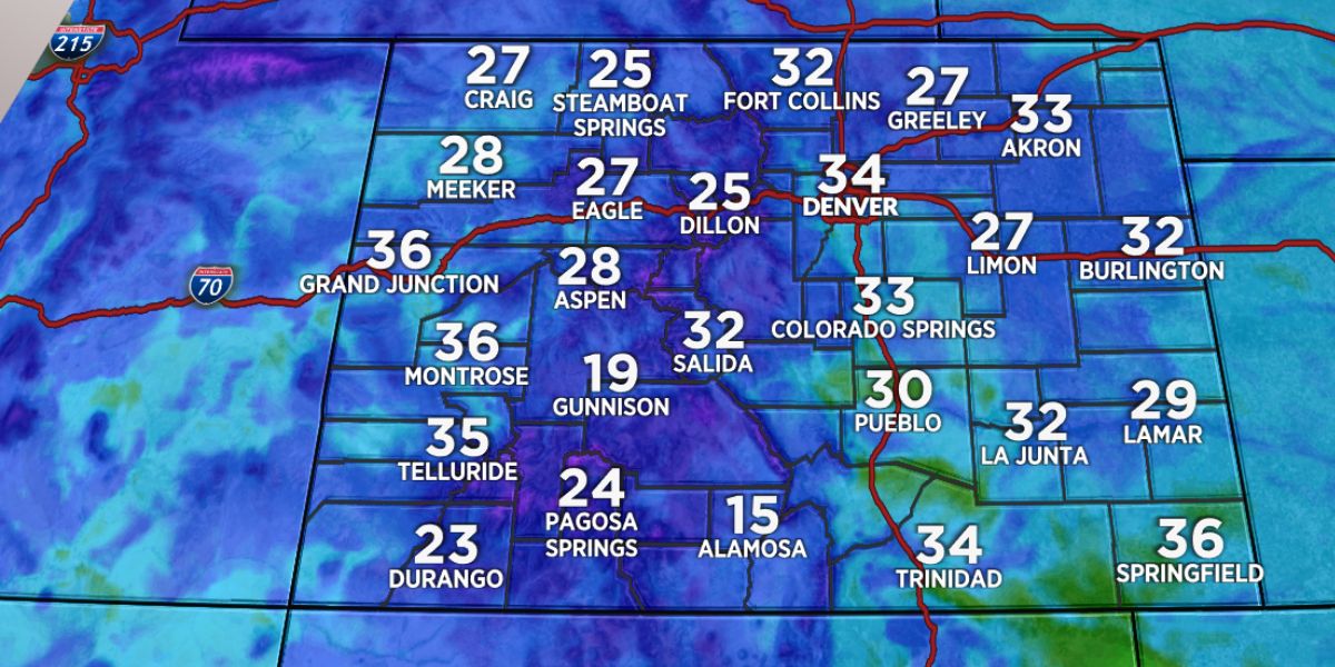
If the National Weather Service is to be believed, the Front Range of Colorado will be subjected to strong winds and temperatures that are slightly higher this coming weekend.
It is anticipated that winds will kick up late Friday night and early Saturday morning, with gusts reaching between fifty and sixty miles per hour in higher elevations. There is also a possibility that lower foothills will experience gusts of wind overnight.
After that, there will be a trend of weather that is very calm, with temperatures remaining slightly above average during the following week.
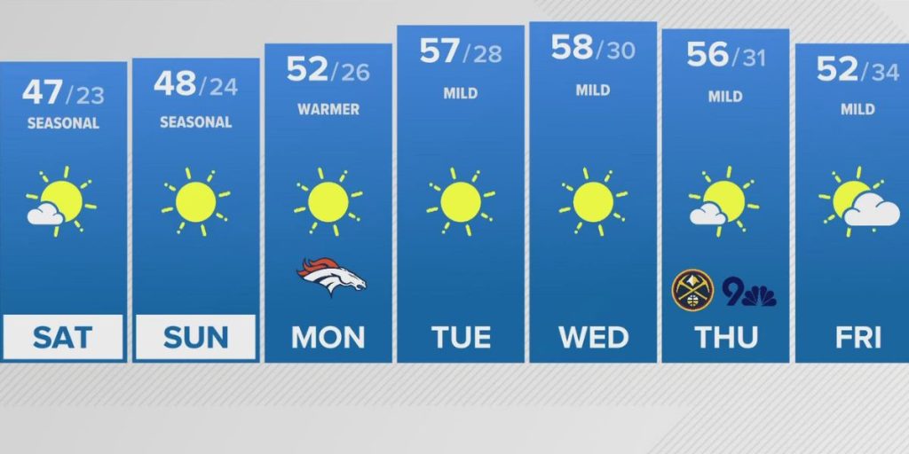
Nighttime low temperatures, on the other hand, will continue to be frigid in mountain valleys. It is anticipated that the high temperatures on Saturday will be comparable to or slightly warmer than those on Friday.
As we look to the future, we can anticipate that the mild temperatures and dry conditions will continue through Thursday, with Tuesday being the most likely day to be the warmest. As a weak system closes in, there is a possibility that alpine showers will develop by Friday.

