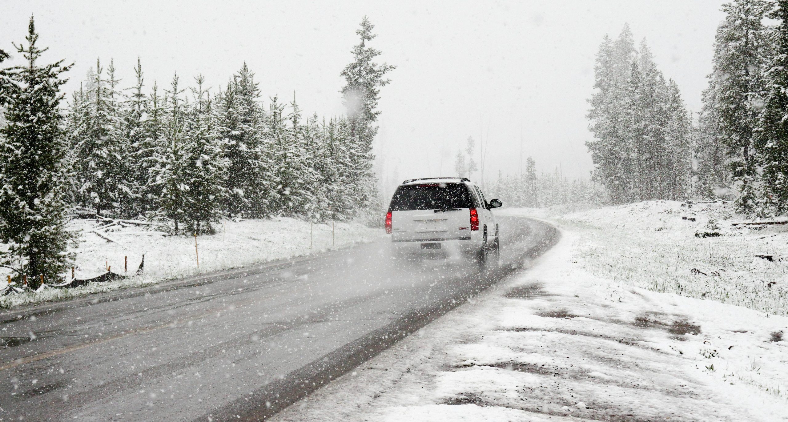
Significant snowfall is set to persist across parts of the Northeast and upper Midwest this week, with authorities cautioning about travel disruptions and hazardous conditions.
Heavy snowfall is set to persist in the Great Lakes region, which has already been experiencing lake-effect snow since late last week. The National Weather Service indicates that this wintry weather will continue through Monday and Tuesday, with the potential for another round of snow in certain areas later in the week.
Emergency measures have been put in place across various counties in New York and western Pennsylvania, with certain regions experiencing snowfall rates of 2 to 3 inches each hour. An intense wave of frigid air has swept across the U.S., plunging temperatures into the single digits and teens in the Northern Plains and other regions. This cold snap is expected to persist into early this week, as reported by the NWS.
When cold air, including from Canada, flows over the warm waters of the Great Lakes, it leads to the rise of moisture and heat into the atmosphere, resulting in a unique weather phenomenon. This results in clouds capable of generating over 2 inches of snow per hour.
According to Bob Oravec, the lead forecaster with the NWS, this recent bout of lake effect snow is just the beginning.
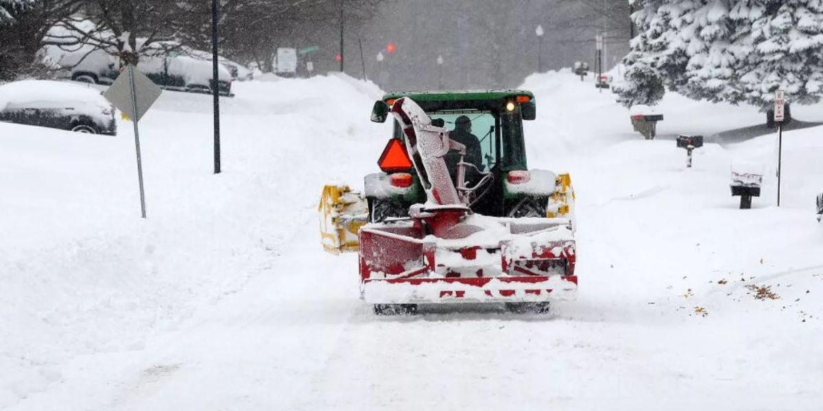
Significant snowfall has blanketed the northwestern regions of Pennsylvania, particularly the Erie County area, which has seen accumulations ranging from 24 to 30 inches since Saturday.
Residents of Erie County in Pennsylvania should prepare for ongoing lake effect snow warnings lasting until Tuesday morning. The northern regions are expected to see between 12 to 24 inches of snow, while the southern areas may receive 10 to 18 inches.
On Saturday, the Governor of Pennsylvania, Josh Shapiro, announced a disaster emergency in Erie County to allocate more resources for those affected by the snowfall. Shapiro took action by deploying the National Guard to assist stranded motorists and offer extra support for those affected by the snowfall.
According to Lt. Adam Reed from the Pennsylvania State Police communications office, state troopers are currently addressing incidents caused by adverse weather conditions and providing assistance to drivers who are stranded.
The western regions of New York are expected to stay under lake effect snow warnings until Monday night, leading to challenging and hazardous travel conditions. Jefferson County is bracing for another 12 to 18 inches of snow, adding to the impressive 3 to 4 feet already accumulated in recent days. Oravec reported significant lake effect snow accumulation south of Buffalo, with Cassadaga, New York, receiving just over 3 feet.
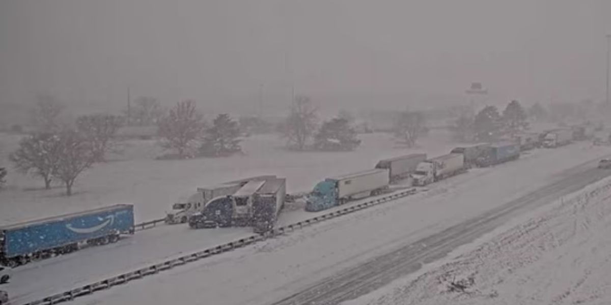
Governor Kathy Hochul of New York has announced a state of emergency for multiple counties, including Erie, home to Buffalo, and is advising residents to “avoid unnecessary travel.” Travel restrictions are currently enforced on certain highways, including a segment of I-90, specifically for commercial vehicles, as stated by the state’s Department of Transportation.
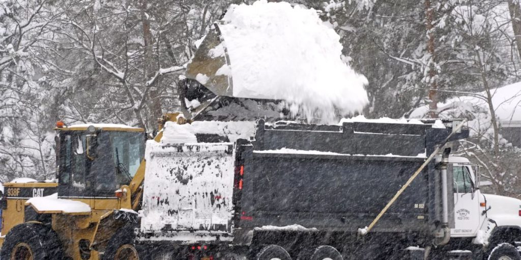
The significant snowfall led the Buffalo Bills to request assistance from fans to remove snow from Highmark Stadium in preparation for the upcoming game against the San Francisco 49ers on Sunday night. The game is still on schedule, but the halftime drone show has been delayed.
Officials are warning that certain regions of the state, particularly around Watertown, may experience additional snowfall from Wednesday night into Thursday night, accompanied by wind gusts exceeding 40 miles per hour.

 by
by 