 by
by A developing deep-winter pattern is underway, with long-range models indicating a potential coastal storm next weekend that may impact the Southeast, Mid-Atlantic, and Northeast if it materializes.
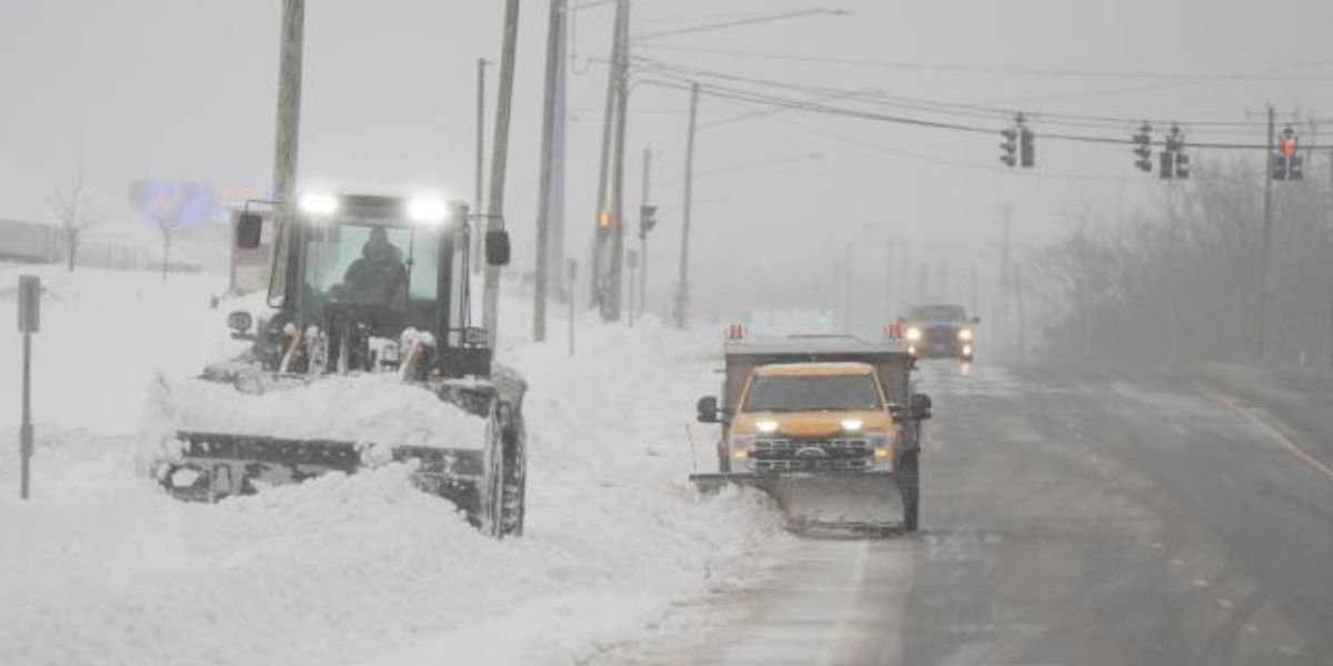
Light snow is expected today and overnight in Kansas, Missouri, Illinois, Indiana, Kentucky, and possibly West Virginia. Snowfall of 1-2 inches is expected across a narrow area including northeast Kansas, north central Missouri, lower Illinois, lower Indiana, central and eastern Kentucky, and most of West Virginia.
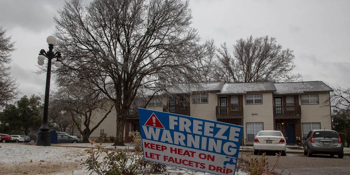
A minor disturbance is expected to bring a surge of cold air, resulting in unusually cool temperatures across the southeast and Gulf coast. On Thursday, a new wave of cold air will prepare us for the upcoming weekend’s happenings.
On Thursday, anticipate light snow in New England and the interior Northeast, along with significant Lake Effect snow in parts of New York, Pennsylvania, and Ohio. Windy weather with temperatures dropping into the 20s and 30s is expected to follow the system.
Cold air is set to create a significant system over the Gulf States before it shifts eastward. We need to watch closely to see if everything aligns and energy reaches the coast of North Carolina.
Should this process take place in the appropriate area, we may experience internal freezing rain issues in South Carolina and North Carolina, along with accumulating snow in Virginia, Maryland, Delaware, and the coastal regions of New Jersey and New York.