Southern California residents should prepare for a change in weather this week as showers and lightning are expected to continue through Wednesday. After a relatively dry period, moisture from a Pacific storm is moving into the region, bringing wet conditions to many areas, including coastal and inland locations. This shift may cause travel disruptions and requires extra caution outdoors.
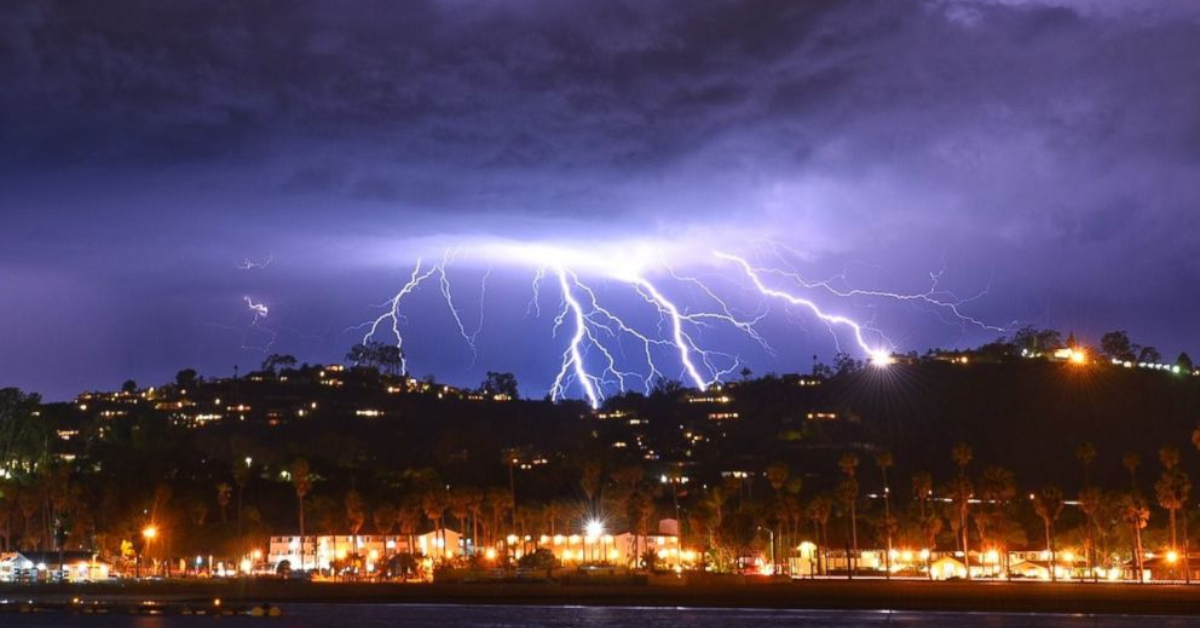
The National Weather Service (NWS) has issued alerts for thunderstorms with possible lightning strikes, especially in the inland valleys and foothills. Young people, commuters, and those planning outdoor activities should stay updated with the latest forecasts and heed safety warnings. For your convenience, reliable weather updates can be found on the National Weather Service Los Angeles website.
What to Expect in the Next Few Days
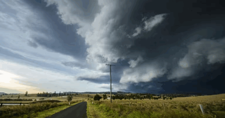
The main weather pattern affecting Southern California through Wednesday is a slow-moving low-pressure system drawing moisture from the Pacific Ocean. This will result in scattered showers and thunderstorms, some with moderate to heavy rain. Lightning activity is expected to increase, especially during the afternoon and evening hours, creating potential hazards for outdoor events and travel.
Areas such as Los Angeles, Orange County, and Riverside can expect intermittent rain bouts, which may cause localized flooding in some spots. According to the AccuWeather Southern California forecast, temperatures will remain cooler than average, ranging from the mid-60s to low 70s Fahrenheit, providing a break from the usual warm weather.
Safety Tips During Lightning and Stormy Weather
With lightning possible through Wednesday, it’s important to take safety seriously. Lightning strikes can be dangerous, especially when outdoors. Avoid open fields, tall trees, and metal objects during storms. Stay inside a sturdy building or vehicle when you hear thunder or see lightning flashes. Electronics and appliances should be unplugged to prevent damage from power surges.
Drivers should also be cautious as heavy rain can reduce visibility and cause slick roads. Slow down and maintain distance from other vehicles to reduce accident risk. If flooding occurs, never try to drive through flooded streets. The California Department of Transportation (Caltrans) advises drivers to exercise extreme caution during wet weather conditions.

How This Weather Affects Daily Life and Travel Plans
The unsettled weather will likely impact daily routines, especially for students and young professionals commuting to work or school. Public transit schedules may face delays, and outdoor plans might need adjustments. It’s a good idea to carry an umbrella or raincoat and wear waterproof shoes to stay comfortable. Checking real-time updates on apps or official websites will help you plan better.
Additionally, those living in wildfire-prone areas should remain alert. While the rain helps reduce fire risk, lightning strikes in dry spots can start new fires. The Ready for Wildfire program encourages residents to stay vigilant and follow evacuation instructions if needed.
When Will the Weather Improve?
The weather system is expected to weaken by Thursday, bringing an end to the rain and thunderstorm chances. Warmer and sunnier conditions will return by the weekend, making it perfect for outdoor activities and social events. However, for now, it is best to remain prepared and informed to stay safe and dry through the midweek period.

Staying connected to reliable weather sources like the National Weather Service and AccuWeather ensures you get timely warnings and updates. Keep monitoring the forecast as conditions can change rapidly in Southern California