 by
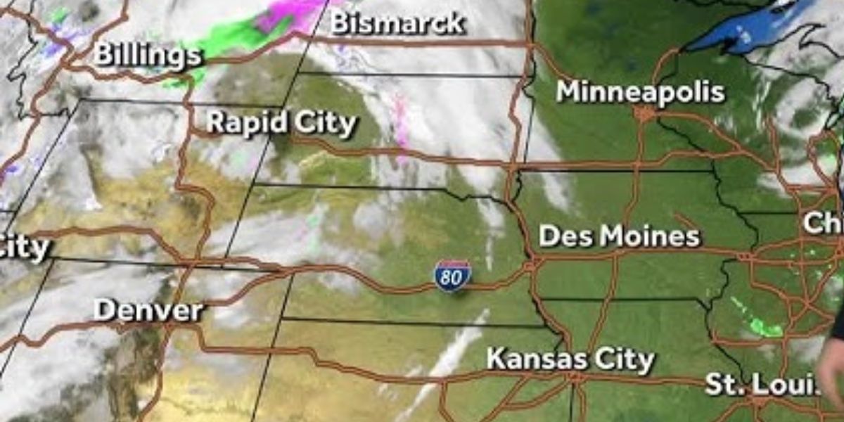
by Residents of southeast Wyoming are being warned about heavy snow and strong winds this weekend. The National Weather Service (NWS) is forecasting up to 18 inches of snow in some mountain areas. Along with the snow, there will also be blowing snow and very strong winds, making travel difficult and dangerous.
The weather service has issued Winter Storm Warnings for the region, as well as High Wind Warnings for areas that could experience wind gusts reaching up to 75 mph.
Here’s what you need to know:
Snow and Wind: What’s Expected?
The NWS reports that snow is likely to accumulate up to 18 inches in the southeast Wyoming mountains. In other areas like Rawlins and Arlington, snowfall could be around 1-3 inches. The combination of snow and wind is expected to reduce visibility on the roads, making driving very risky.
In addition to the snow, the strong winds could create blizzard-like conditions. Wind gusts of up to 60 mph are predicted in many areas, making driving even more dangerous. Drivers should be extra careful on the roads, especially in the mountains and open areas where blowing snow could cover roads quickly.
Areas Under Warning
- Winter Storm Warnings have been issued for most of the southeast Wyoming mountains, where heavy snow and blowing snow will cause low visibility and poor road conditions.
- A Winter Weather Advisory has been issued for Rawlins and Arlington, where blowing snow could cause the same visibility issues and make roads slippery.
- High Wind Warnings are in place for much of the area, with winds of up to 75 mph possible in some spots.
Impact on Travel
- Roads: Expect snow and ice on the roads, which will make driving conditions very challenging, especially on highways and mountain roads.
- Visibility: Blowing snow will make it hard to see clearly, which could cause accidents.
- Wind: The strong winds can be dangerous, especially for high-profile vehicles like trucks and buses. They could be blown off course, so drivers should avoid traveling in windy conditions if possible.
Forecast Details
- Cheyenne: A high wind warning is in effect. The weather will be partly sunny with a high of 49°F today, but winds could gust up to 35 mph. Winds will remain strong through the weekend, with gusts reaching 45 mph on Sunday and 30 mph on Monday.
- Laramie: Snow is expected today with temperatures around 39°F. Winds could gust up to 35 mph. On Sunday, there’s a chance of rain and snow, with temperatures around 47°F. Strong winds are expected throughout the weekend, making it feel even colder.
- Rawlins and Arlington: These areas should prepare for snow accumulations of 1-3 inches, along with wind gusts reaching 60 mph.
How to Stay Safe
- Avoid Traveling: If you don’t need to go anywhere, stay home. If you must travel, make sure your car is prepared for winter weather, including having a full tank of gas and emergency supplies.
- Keep Updated: Check weather reports frequently, especially if you live or plan to travel in the affected areas.
- Drive Slowly: If you must drive, take extra precautions. Slow down and increase the distance between you and other vehicles to allow for sudden stops.
Conclusion
Southeast Wyoming is about to face severe winter weather, including heavy snow and dangerous winds. It’s important to stay informed and take precautions to stay safe. If you are in the affected areas, avoid traveling if possible, and make sure you are ready for poor road conditions and low visibility. Stay safe and be prepared for a challenging weekend!
(Source : y95country.com)